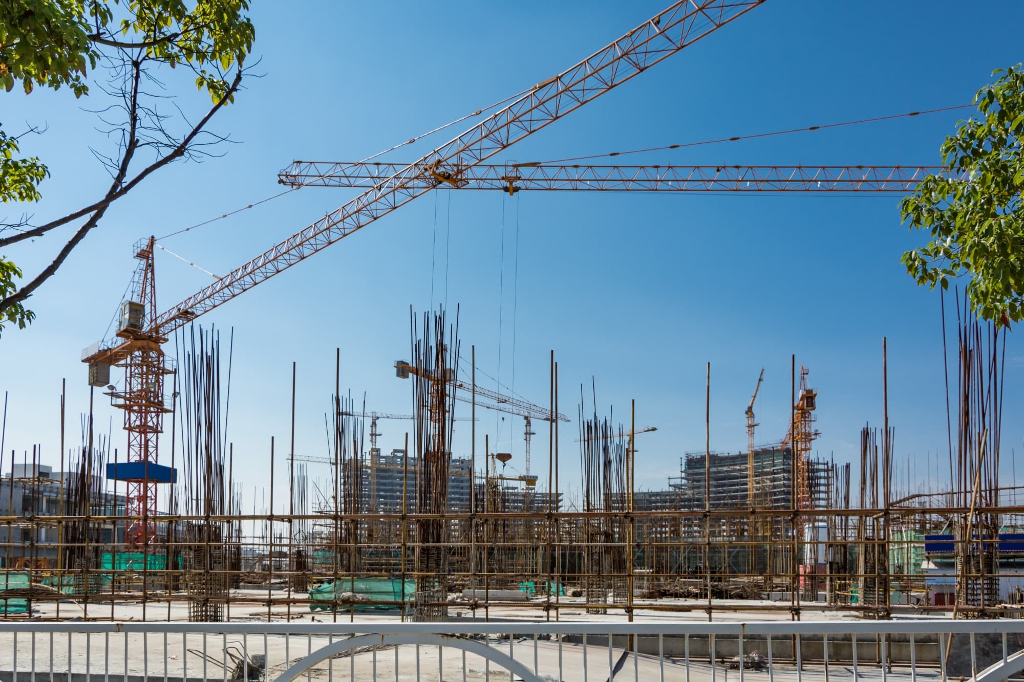
Kabudula Filling Station Site
Qwathu Group Limited has been engaged to facilitate the development of a filling station and retail shops on a plot located at Kabudula, Malawi. The proposed development comprises a filling station equipped with four (4) fuel pumps, alongside retail shop units, designed to serve the surrounding community and passing traffic along the area's road network. The project is being delivered as a full end-to-end engagement, beginning with the formalization of the land including site survey, sketch preparation, physical planning approval, mutation, cadastral survey, valuation, and title registration followed by the necessary regulatory approvals from relevant authorities, and culminating in the design, budgeting, and construction of the filling station and shops. Qwathu Group's role throughout is to manage this process on behalf of the client, ensuring efficient execution, transparent cost management, and regulatory compliance at every stage, from the initial site assessment through to a fully operational facility.
Location
Kabudula, Lilongwe
Start Date
September, 2026
Scope of Deployment
The overall scope of this project is the development of a filling station (4 fuel pumps) with retail shops on the plot located at Kabudula. Qwathu Group is responsible for the full delivery of this project, including: Land formalization — site survey, sketch preparation, physical planning approval, mutation, cadastral survey, valuation, and title registration. Regulatory approvals — securing the necessary permits and clearances from relevant authorities, including MERA, the Environmental Protection Agency, and the local council, as required for the development and operation of a filling station. Design and construction — architectural and engineering design, budgeting, materials procurement, labour coordination, and site supervision through to completion of the filling station and shops.
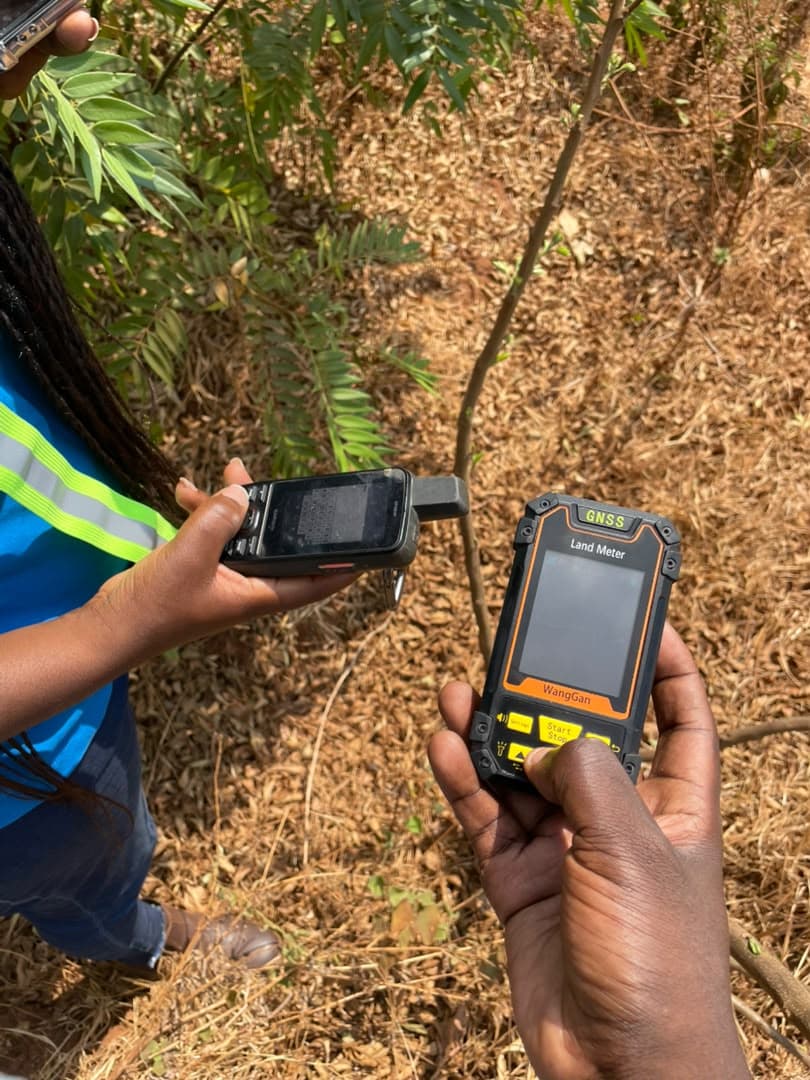
Phased Execution Architecture & Progress History
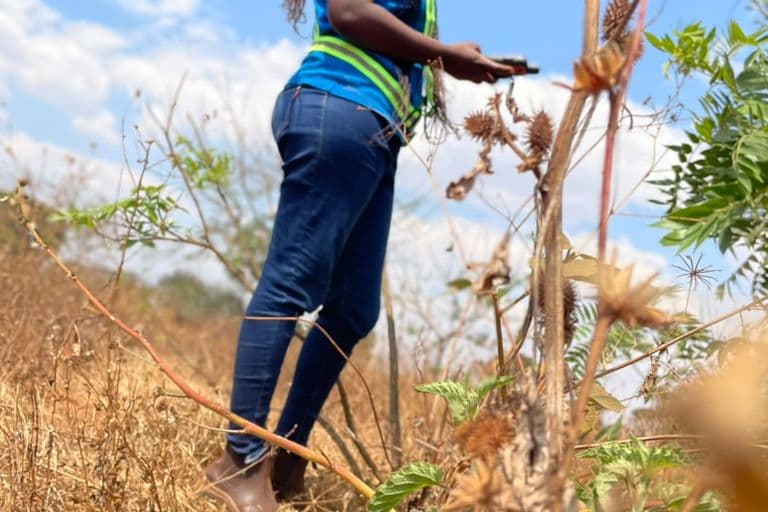
Site Visit & Survey
This is when our team was on-site at the Kabudula plot, walking the boundary and recording coordinate points to support the site sketch.
September, 2026
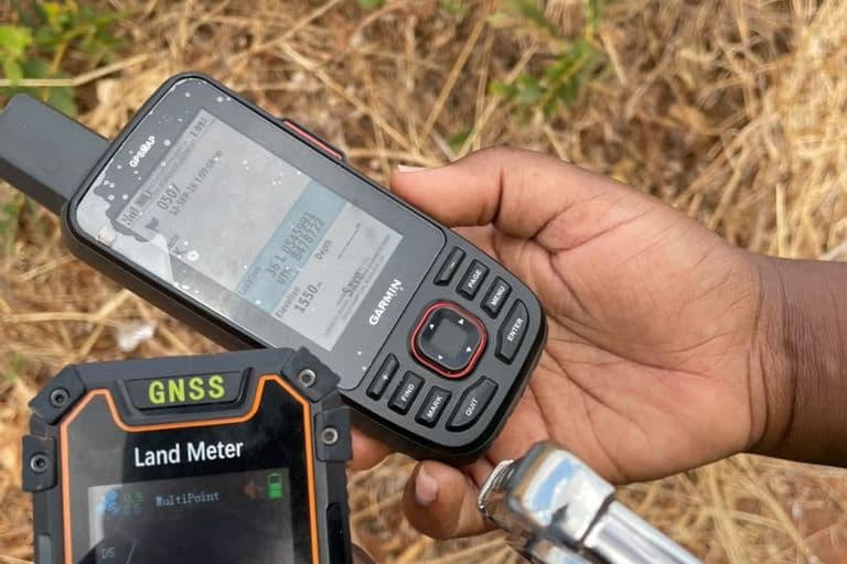
Coordinates taking
This is when our team was recording coordinates at the Kabudula plot, using GPS/GNSS equipment to capture boundary points for use in preparing the site sketch.
September, 2026
Sketch Preparation
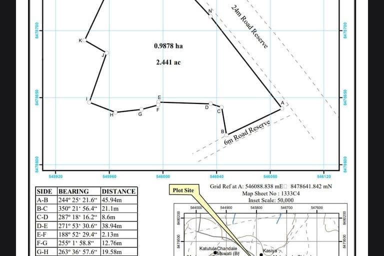
Qwathu Surveyors prepared a Site sketch of the Kabudula plot, showing boundary coordinates, bearings, and distances (A–N), a total area of 0.9878 ha (2.441 ac), plot location relative to the 24m and 6m road reserves, and an inset map indicating the plot's position within the surrounding area.
September, 2026